Maps - Information
As mentioned in the Finding Data section, in MapStand HUB you can see your maps and all the published maps through the filtering feature on the resource page.
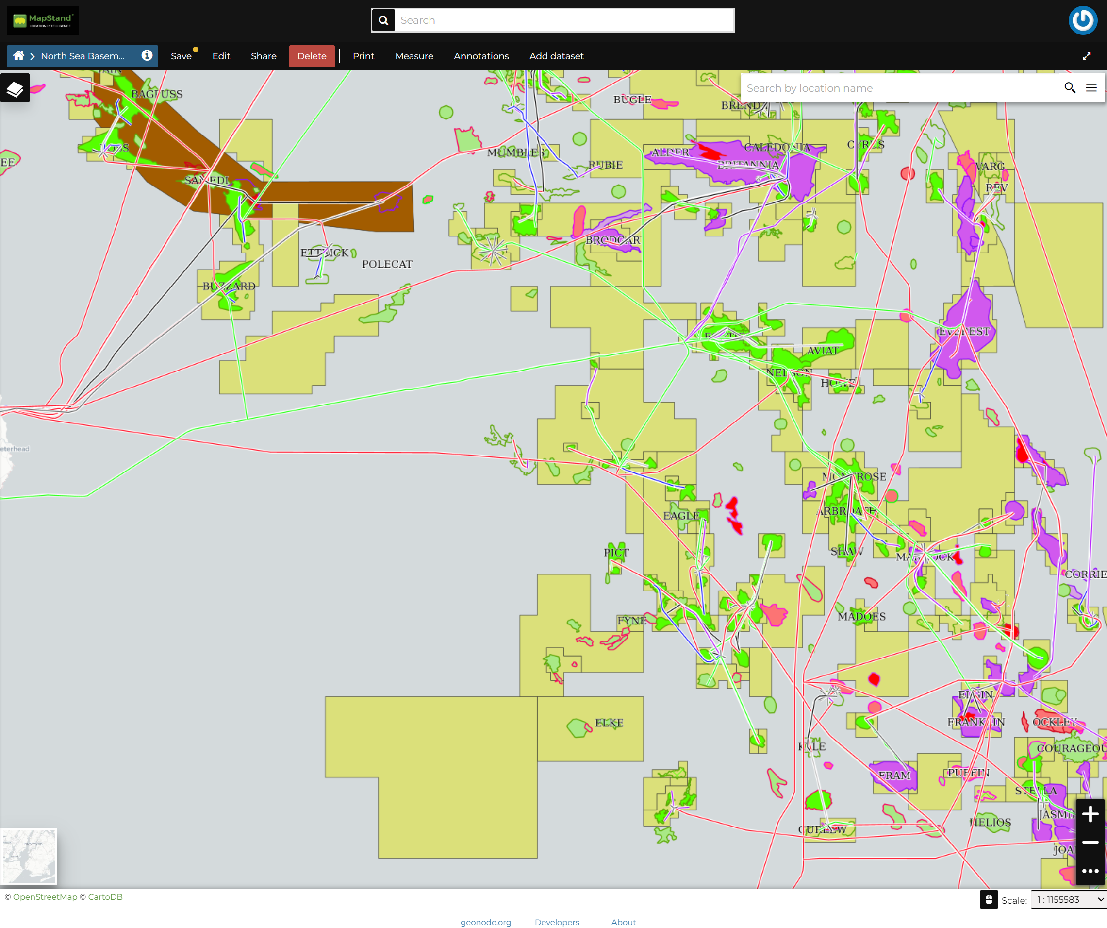
Click on the title of the Map you are interested in to open its overview, then click on View Map, it should looks like the following.

The Map Detail Page shows the Map with very basic functionalities:
-
the Base Map Switcher that allows you to change the base map;
-
the Zoom in/out tool to enlarge and decrease the view;
-
the Zoom to max extent tool for the zoom to fit the datasets extents;
-
the Query Objects tool to retrieve information about the map objects by clicking on the map;
-
the Print tool to print the preview.
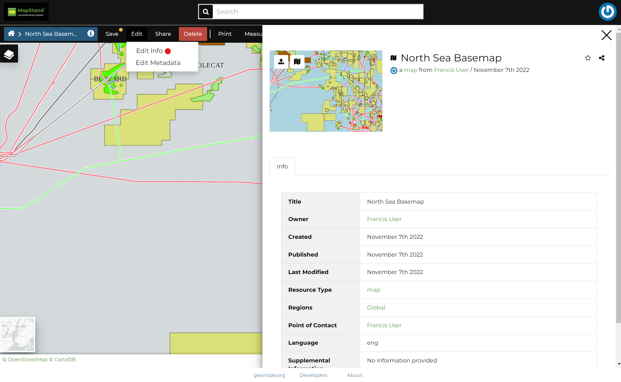
To see the information of the Map, click on the Edit > Edit Info on the menu of the details page, This section shows some metadata such as its Title, the License, the Publication Date etc. The metadata also indicates the map owner and which regions are involved. see example below.

![logo-inverted-2.png]](https://support.mapstand.com/hs-fs/hubfs/logo-inverted-2.png?height=50&name=logo-inverted-2.png)