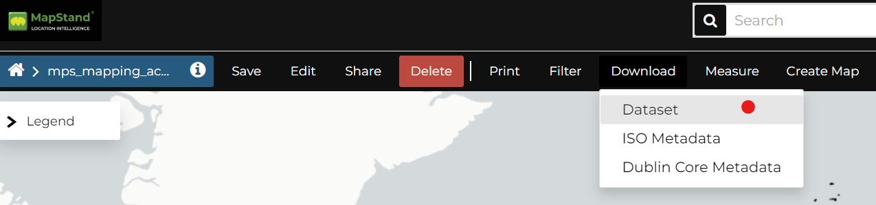
Downloading Datasets
First, open/view the dataset you'd like to export.
At the top of the Dataset Menu there is a Download link. This allows you to extract geospatial data from the selected dataset.
Select the File Format from the following supported export file formats.
GeoJSON, GML (FeatureCollection), GML (WFS 1.1.0 FeatureCollection), CSV, Shapefile, GeoPackage and KML.
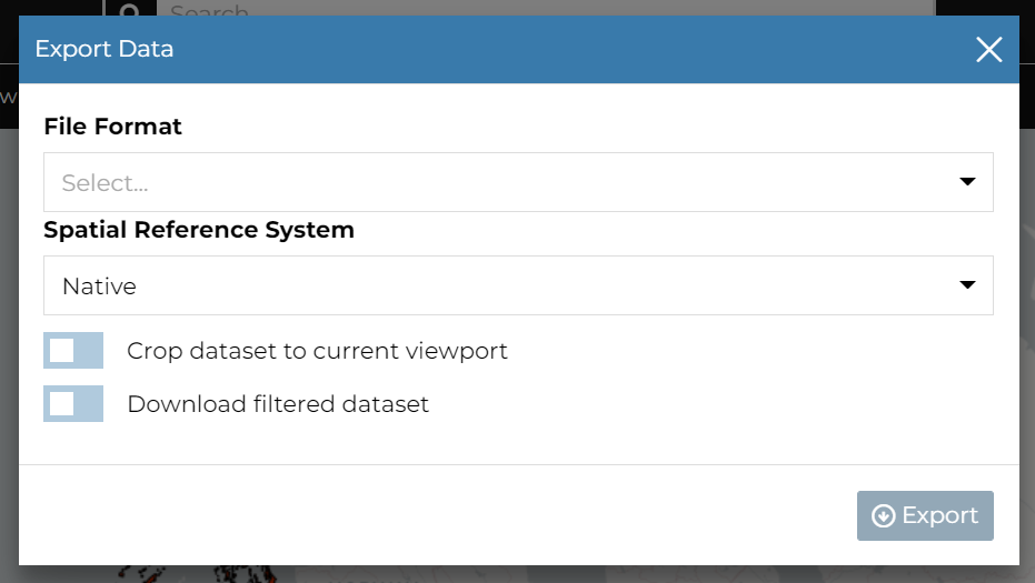
If you have filtered the dataset, and want to to export this subset of the dataset, toggle on Download filtered dataset to download just the filtered data.
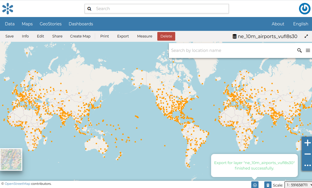
On clicking Export, the file is prepared and a notification is shown when file is ready.
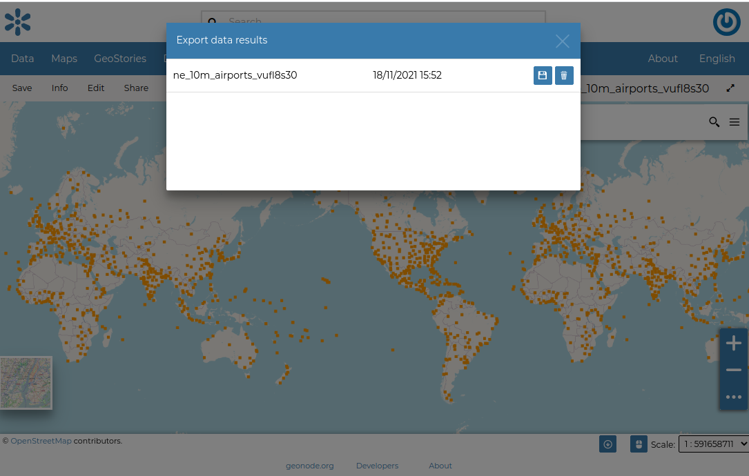
To download the file to your PC, click on the export data results icon. This opens the prepared export files.
Save the files to the Downloads folder on your PC by clicking on the save icon on each item.
Note: If you just want to download the whole dataset in GeoPackage format - this can be done from the Dataset Information panel (see below)

