To access the MapStand's OGC Web Services for Hub customers we use basic Authentication or the API access token.
Below are the instructions for accessing these using QGIS.
- Open QGIS and select he Data Sources Manager icon
 . Next, select WFS (or WMS depending on what you need) and click New (see below)
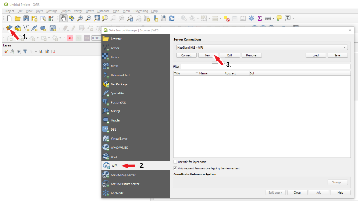
- Enter a name for the connection and the URL - the URL will vary by customer. For example https://hub.mapstand.com/gs/ows?version=1.3.0&apikey=<your API token>. Click here to discover how to find out what your unique API access token is.
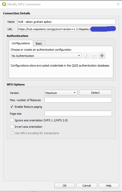
- Click OK to save the settings. Then click on the Connect button to display the list of datasets you have access to.
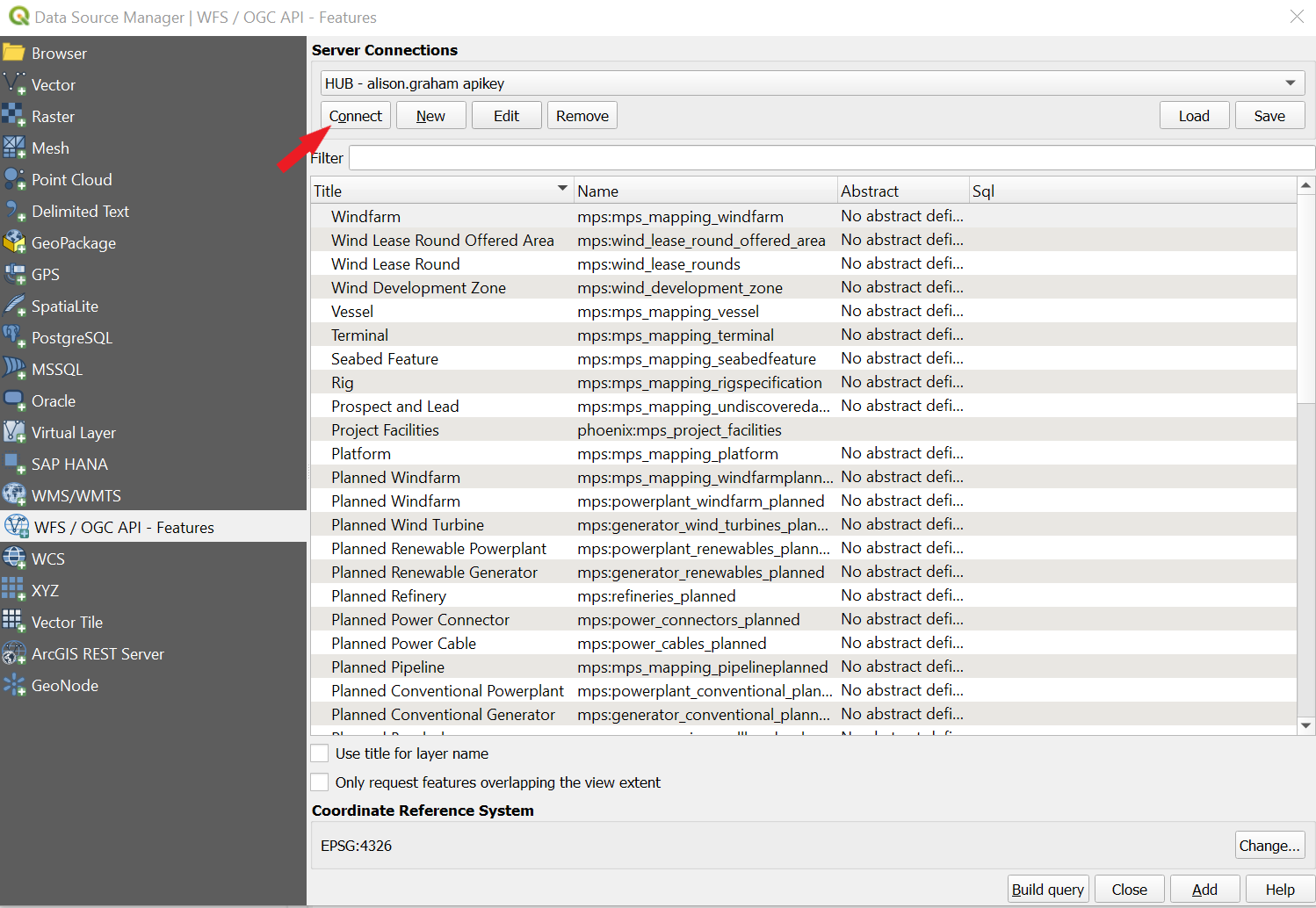
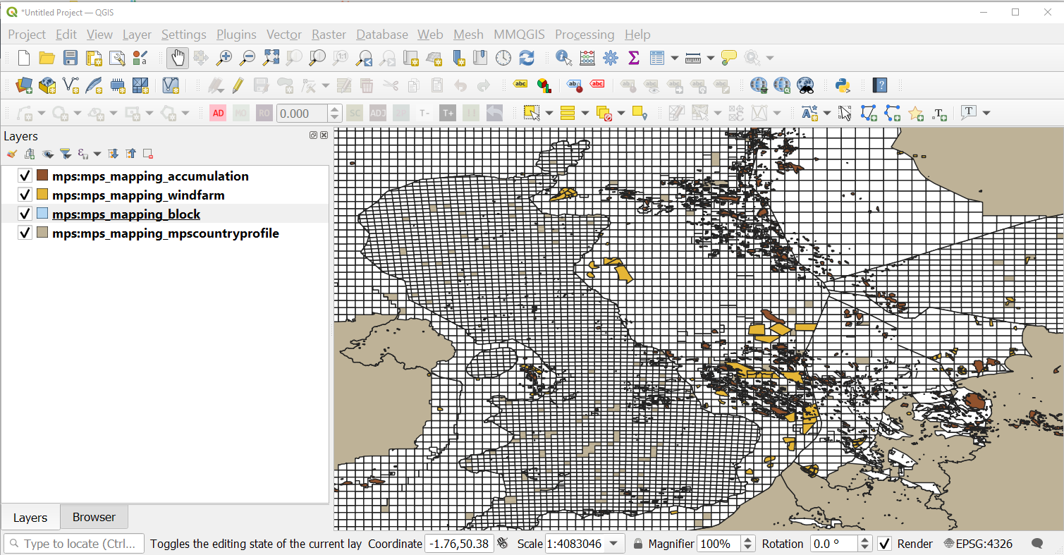
- Select a dataset from the list and click on the Add button to add the dataset and view it in QGIS.
-
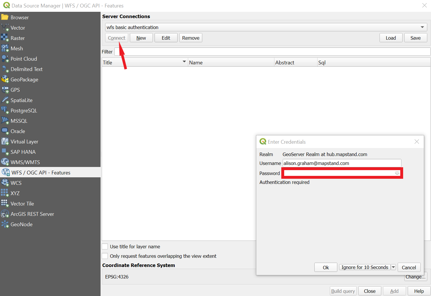
Instead of using the apikey in the URL in step 2, you can select APP.mapstand.com from the Configurations tab pull-down.
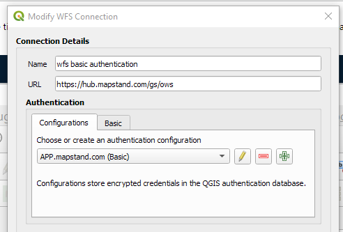
- This time when you you click on Connect, you will be prompted to enter your MapStand account password.